Contact Information
208-372-2150
Email: GIS@rexburg.org
GIS
What is GIS?
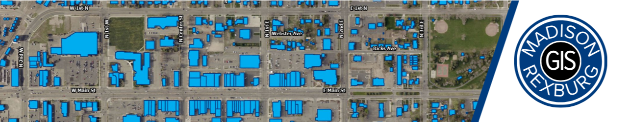
Geographic Information System (GIS) is a computer system designed to capture, store, analyze, manage, and present location-based data often called spatial data. Spatial data can represent many different things from our address points to street lines or our land ownership polygons. These are a few examples of data a GIS collects and manages in an effort to provide accurate maps for smarter decision-making.
Our Department
The GIS department is located at Rexburg City Hall and serves both the City of Rexburg and Madison County. Our goal is to aid both entities by producing accurate spatial data that helps in better decision-making.
Quick Facts from GIS
The City of Rexburg incorporates 10.1 square miles of land into its boundaries.
The County has a total area of 471.8 square miles.
There are approximately 736.2 miles of road in the County.